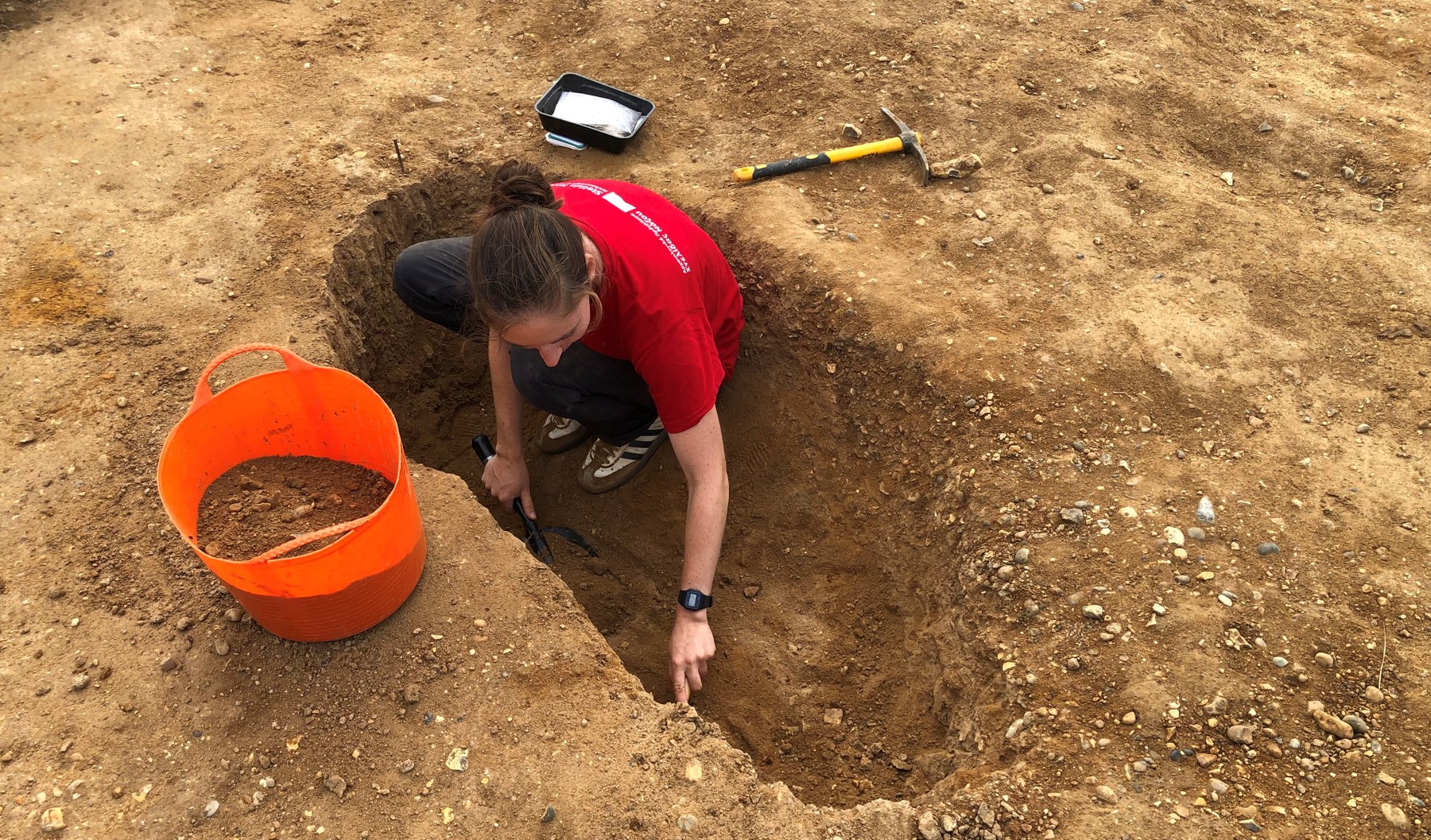
Welcome to the Freston Archaeological Research Mission (FARM).
Located on Suffolk's Shotley Peninsula in East Anglia, 5 km south of Ipswich and 12 km from the North Sea, the Freston 'causewayed enclosure' is one of the largest Neolithic monuments in Britain. The site comprises a circular gathering space defined by banks and ditches with multiple entrances – that we believe was created some 6000 years ago. The Neolithic is a key moment in British history, as this is the period when the first farmers migrated here from continental Europe, introducing agriculture as a new way of life, one that continues today as the peninsula's economic backbone.
With most people in the Neolithic living in small communities, it would have sometimes been necessary for these dispersed populations to come together to trade goods, marry, make funeral arrangements, feast, and celebrate their common histories. Causewayed enclosures seem to have been important venues for such events, with the Freston monument the fourth largest of its kind at almost 21 acres (8.55 hectares).
The aim of our excavations at Freston is to shed light on the Neolithic people and their practices: agricultural, social and religious, while simultaneously reconstructing the prehistoric landscape to understand why these early farmers chose this particular site for their gatherings, and to what extent they reshaped the landscape as they settled in the region.
The Site’s Discovery
Today, there is nothing left to see of this great Neolithic monument. The earthen banks are long-gone, their soil having slumped back into the ditches from which they were dug.
While there is no trace of the enclosure at ground level, it can occasionally be seen from above, which is how it was discovered in 1969 by Cambridge University’s Committee for Aerial Photography. This was a research group established in 1948, with the aim of mapping the changing face of Britain from the air, with former RAF pilots flying hundreds of missions over the country.
Aerial view
The aerial photographs were taken during a very dry summer, when the back-filled ditches could be seen clearly from the sky. These ditches stood out because of the slightly looser soil that held more water than the surrounding parched ground and resulting in a growth of denser, lush crops on top of them.
The Site’s Form and Function
While archaeologists have long appreciated the importance of the Freston causewayed enclosure – it being formally protected as a scheduled monument by English Heritage in 1977 - the site has never been excavated until now. In 1995 a detailed map was drawn from the original photographs, showing how the enclosure was comprised of two closely spaced, concentric ditch systems. These ditch systems were broken up into relatively short and regular segments by narrow causeways by which people could enter the monument. There was also evidence for a narrow trench running around the site between the two ditches; this we think was dug for a wooden fence – or palisade – that was put up to protect parts of the site.
A Long House?
In the enclosure’s north-east quadrant was a rectangular shape on the aerial photograph, made up of a small dark circular patches. These are believed to be the traces of ancient post-holes, indicating a timber-framed structure once stood here.
If this was a Neolithic building...
then it would be an extremely rare example of either a long-house or large burial chamber, potentially the earliest activity at the site based on similar structures found elsewhere in Britain.
In 2007 English Heritage sponsored a scientific study of the enclosure’s north-east quadrant, using various geophysical techniques to record the buried archaeological features without having to excavate. This project confirmed the existence of the ditch systems and presence of the ancient structure, but also revealing a number of pits that might have been used during the Neolithic to hold the rubbish from feasts or other activities.


